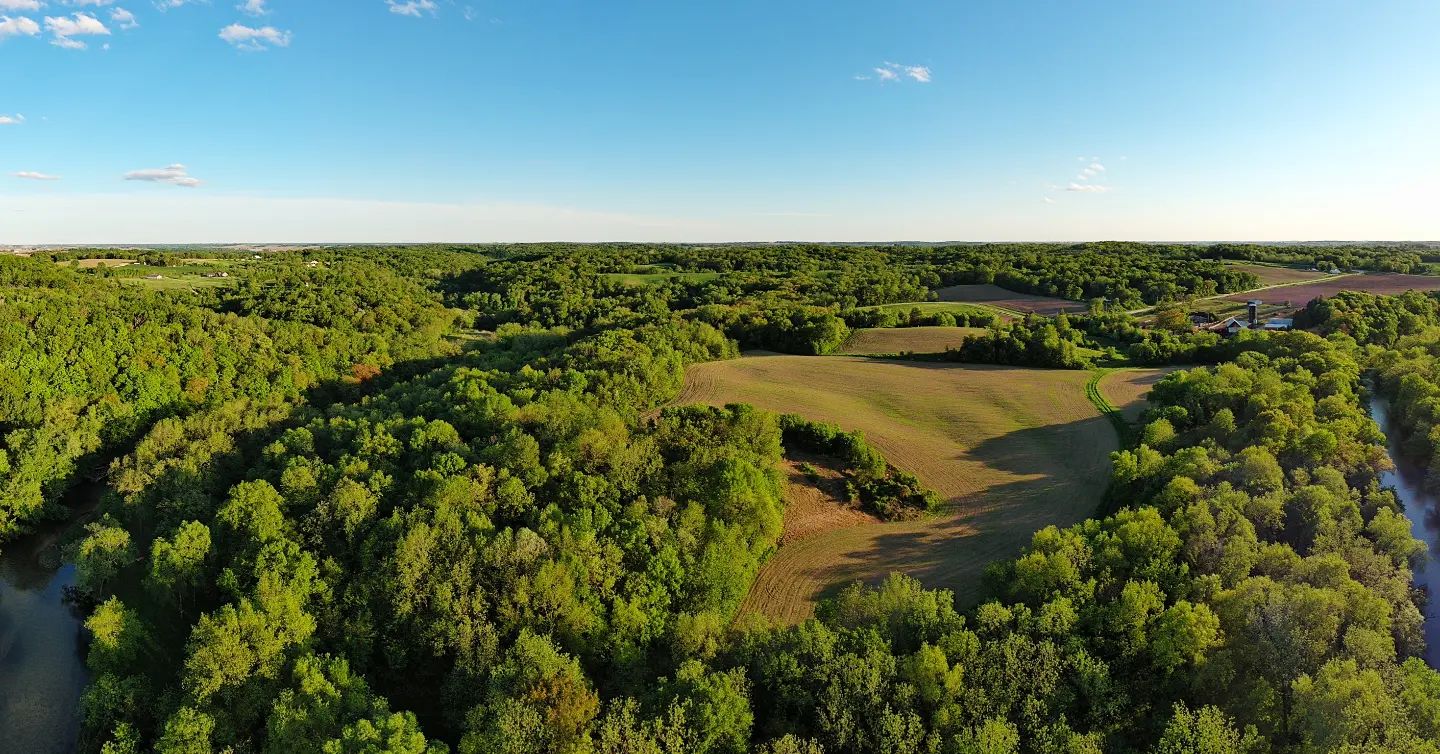
Digital Mapping: How Bluffside Forestry Utilizes GIS for Precision Management Apr 21, 2026
Bluffside Forestry's integration of digital mapping through GIS has revolutionized how they manage vast expanses of wooded areas. Beginning with an accurate digital representation of their managed forests, GIS provides a detailed overview unlike traditional mapping methods. This digital framework allows Bluffside Forestry to capture, store, manipulate, and visualize geographic information in an unprecedented way.
One of the key advantages of utilizing GIS in forestry management is its ability to offer real-time data. With this technology, Bluffside Forestry can swiftly identify changes within forest ecosystems, monitor tree growth, and detect potential threats such as pest infestations or disease outbreaks. By responding promptly to these issues, they effectively mitigate risks and preserve forest health.
Moreover, GIS technology assists Bluffside Forestry in resource allocation. Traditional survey methods can be time-consuming and labor-intensive. In contrast, GIS systems streamline the process, enabling efficient deployment of resources by pinpointing areas that require urgent attention. This level of precision not only saves time and money but also minimizes environmental impact — a core value for Bluffside Forestry.
In addition to operational efficiencies, GIS supports sustainable practices through data-driven decision-making. By enabling the analysis of spatial and temporal data, it provides insights into patterns and trends that inform management strategies. For instance, identifying regions with specific soil types or rainfall patterns allows Bluffside Forestry to tailor their planting and harvesting techniques. This targeted approach ensures maximum yield while maintaining ecological balance.
Furthermore, GIS aids in strategic planning by facilitating comprehensive analysis and future projections. It's instrumental in assessing potential impacts of forestry activities by modeling scenarios and evaluating outcomes. This foresight allows Bluffside Forestry to plan effectively for both conservation and commercial objectives, balancing their dual commitment to sustainability and productivity.
Bluffside Forestry's use of GIS technology doesn't just stop at internal operations. It also plays a crucial role in stakeholder engagement and transparency. Detailed maps and data visualizations can be shared with local communities, government agencies, and environmental organizations, fostering informed discussions around forest management strategies. This collaborative approach enhances trust and ensures that everyone's interests are considered.
In conclusion, the introduction of GIS into Bluffside Forestry's operations exemplifies how technology can transform traditional industries. By leveraging digital mapping and precision management, Bluffside Forestry not only boosts efficiency and sustainability but also sets a benchmark for responsible forestry practices. As the forestry industry continues to adapt and innovate, Bluffside Forestry remains at the forefront, championing a future where technology and nature work hand in hand.
/filters:no_upscale()/filters:format(webp)/media/a3b19f47-292e-4b00-b740-40dfe2381139.jpeg)